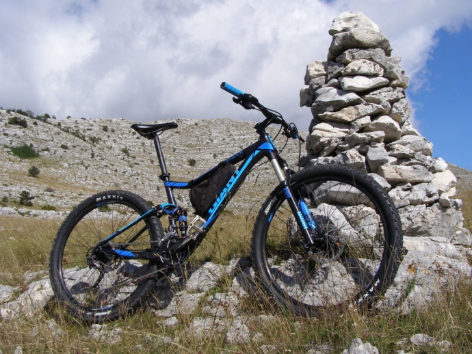
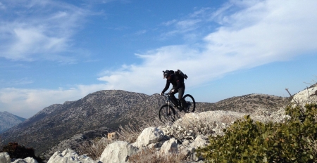
This mountain stretches from Sinj towards Vrlika in the length of 30 km and divides the Sinj and Petrovo valleys. On the north side it is bordered by the Peruča lake almost entirely. The north side is steep and forested and not fit for cycling ascents. Southern slopes are much flatter and are mostly barren. There are several gravel roads on them, favourable for cycling.
This was our choice: access from the south side. The closest place with relatively easy access with vehicles is Ogorje Donje. But form there the route is quite short so we chose an alternative location at Sinjsko Zelovo village. Some of the drivers came from Muć, others via the road from Hrvace. These are the two main roads to Zelovo along the west approach from Ogorje, which we will bike. Zelovo is a mountain village and you must climb it, no matter from which side.
The starting position was reached and we begin unpacking bikes and preparing for the ride. The first leg of their route is the descent from Zelovo to Ogorje Donje. We head on the road left of the church and ride shortly uphill, followed by a 10 km descent to Ogorje. At the very transition from uphill to downhill is a mountain house under the Eagle’s Rocks, on the northeast side of the mountain. We leave the house for another time and descend towards Ogorje. The road is wide and good in the beginning only to become narrow and worse near Ogorje. After descending to Ogorje, we turn right onto a local road to Milešina. From this point on there is only ascent all the way to the top of Svilaja - Bata. Before the first houses in Milešina, we turn right onto gravel road which takes us to the top of Svilaja.
Orientation to this point is not difficult and only requires following gravel uphill. The only place where a mistake is possible is the locality near the Elez barns. At that intersection you should go right and uphill. Turning left would take you to the west of the mountain. The gravel road is relatively new, but the rains have broken it apart so several spots are hard to pass. Rains have softened the top layer so we often skidded in place. The second enemy of the ascent was an invisible hill - the Bura wind. Straight from the front, it slowed us down and cooled us to a solid 12-13 Celsius. When we had to switch sides due to damages on the road, it would literally push us off the bike. Slowly we ended up in Lokva, beneath the very top of Svilaja.
In Lokva there is a watering hole for cattle. Svilaja is a shepherd mountain and there are shepherds with cows and sheep. The watering hole is made of concrete and forms a perfect outdoor velodrome.
After circling a few times we prepared for the last part of the ascent - top of Svilaja. There is no raod to it, so we hiked. We followed the map and trail that goes directly from the watering hole, which turned out to be a relative mistake. The ascent went straight to the top over an impassable terrain with rocks. A better option is to head east until you come to a mountain trail that goes left to the top. It’s an easy trail and goes over a flat area littered with small rocks. It’s just longer. Our direct ascent eventually arrived at the trail. At the top, with plenty of wind, wonderful view north and the Peruča lake below. Last year we were on the opposite hill top, Troglav, but the view of the lake is not nearly as nice as from Svilaja. The view also shows Dinara, Troglav, Kamešnica, Bikovo and Mosor mountains. In nice weather you can see south Velebit, Čvrsnica and Vran.
Naturally we made trophy photos, small break and descended. We arrived to the bikes and what followed is our favourite part of the tour Gravel descent all the way to Ogorje. Bura now became our partner pushing us along. A bit more attention along the rough spots and we were in Ogorje.
The last quarter was left over, the ascent to Zelovo. Day was getting short, Bura got stronger, muscles were cold and we barely made it to the cars. Quick bike packing, change of clothes and descent to Hrvace and Sinj for a well deserved dinner.
For the original and more from Dinarides Trails, click here.


